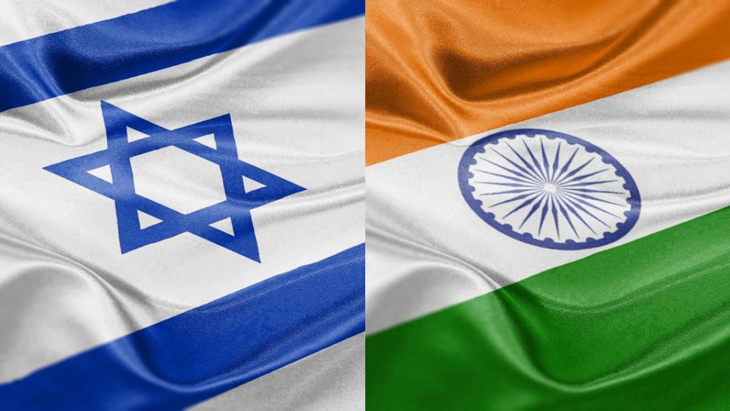
Israel has removed an erroneous depiction of India’s map on its official government website following a significant backlash from Indian social media users, who pointed out that the map incorrectly showed Jammu and Kashmir as part of Pakistan.
The incident highlighted the importance of cartographic accuracy in international relations.
The issue was brought to light by Indian influencers on X (formerly Twitter), where a user, Abhijit Chavda, highlighted the discrepancy. ‘India stands with Israel, but does Israel stand with India? Note the map of India (pay attention to Jammu & Kashmir) on Israel’s official website,’ the post read, initiating a wave of online discussion and criticism.
Responding promptly to the complaints, Israel’s Ambassador to India, Reuven Azar, acknowledged the error, attributing it to a ‘website editor’s mistake,’ and said the incorrect map was taken down.
The incident, while minor in the grand scheme of international relations, reflected the sensitivity surrounding territorial depictions, especially in regions like Kashmir, which have been subjects of longstanding disputes.
Israel is currently at war with Hamas and Hezbollah following a deadly terrorist attack on its soil, and speculation is rife that it may retaliate to the missile attack from Iran.